 BushNav
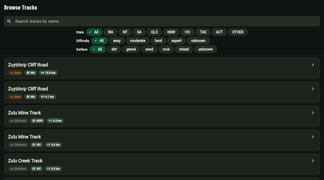
100,000+ tracks. Zero bars. All of Australia.
- Holland Track
- 700 km
- Anne Beadell Hwy
- 1350 km
- Gunbarrel Hwy
- 1400 km
- Canning Stock Route
- 1850 km
Route lengths in kilometres, for four of the 21 classic routes that come loaded in BushNav.
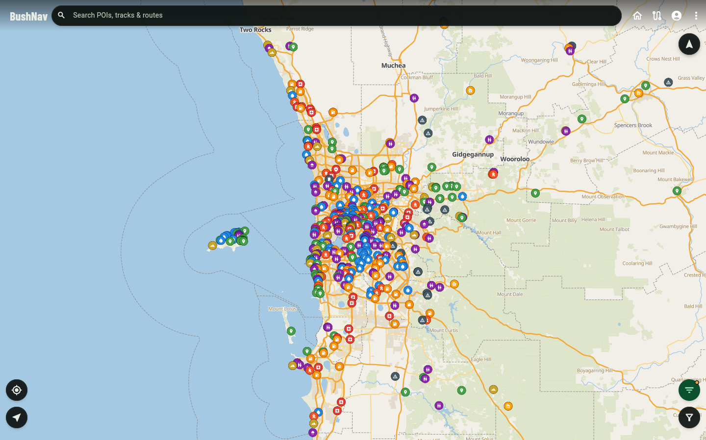
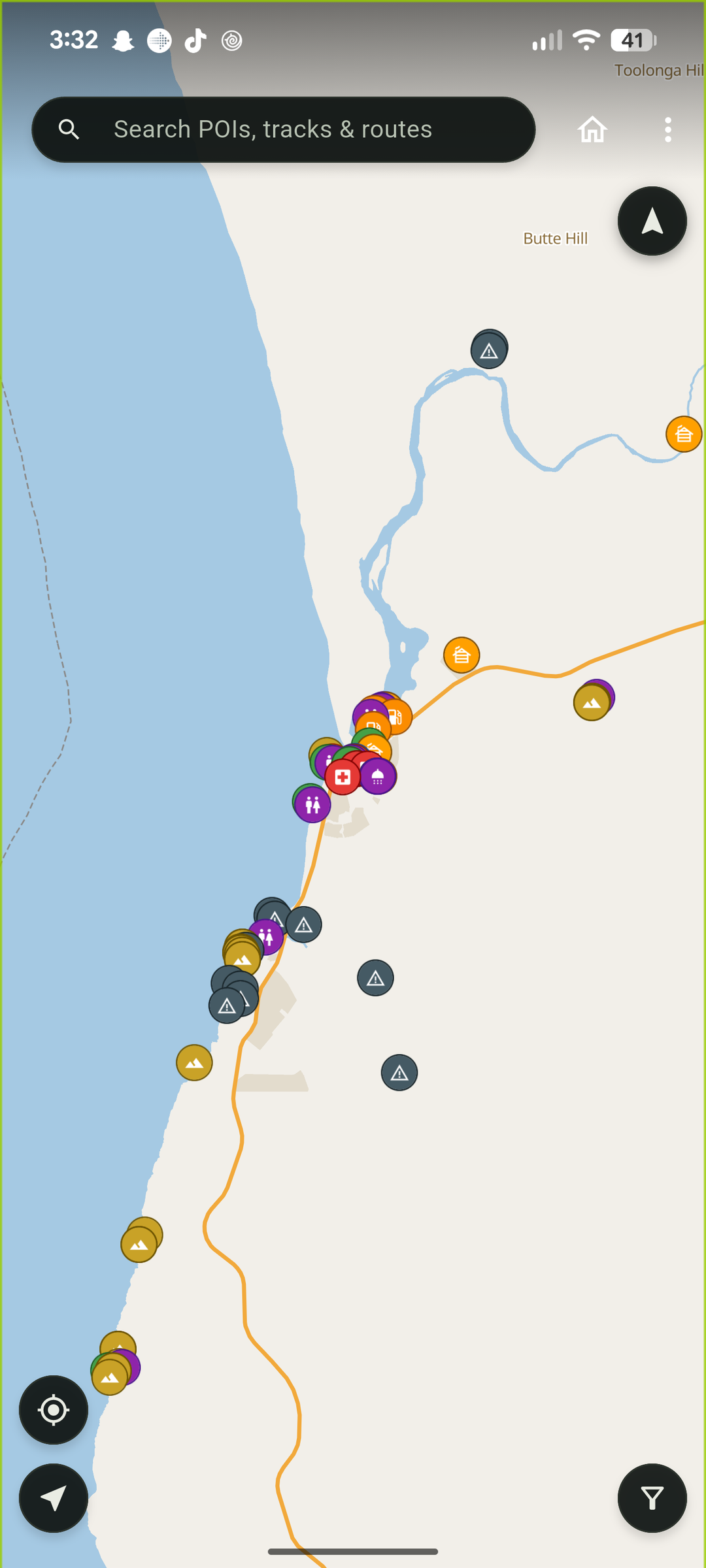
Every camp, water point and 4WD track in the country, on a map that keeps working when the phone doesn’t.
Plan a route at home, download the lot, and leave the signal behind.
One email when it’s live. Nothing else.
One trip to Karijini, start to finish
Real screens from one real plan, in the order you’d use them.
-
Search once
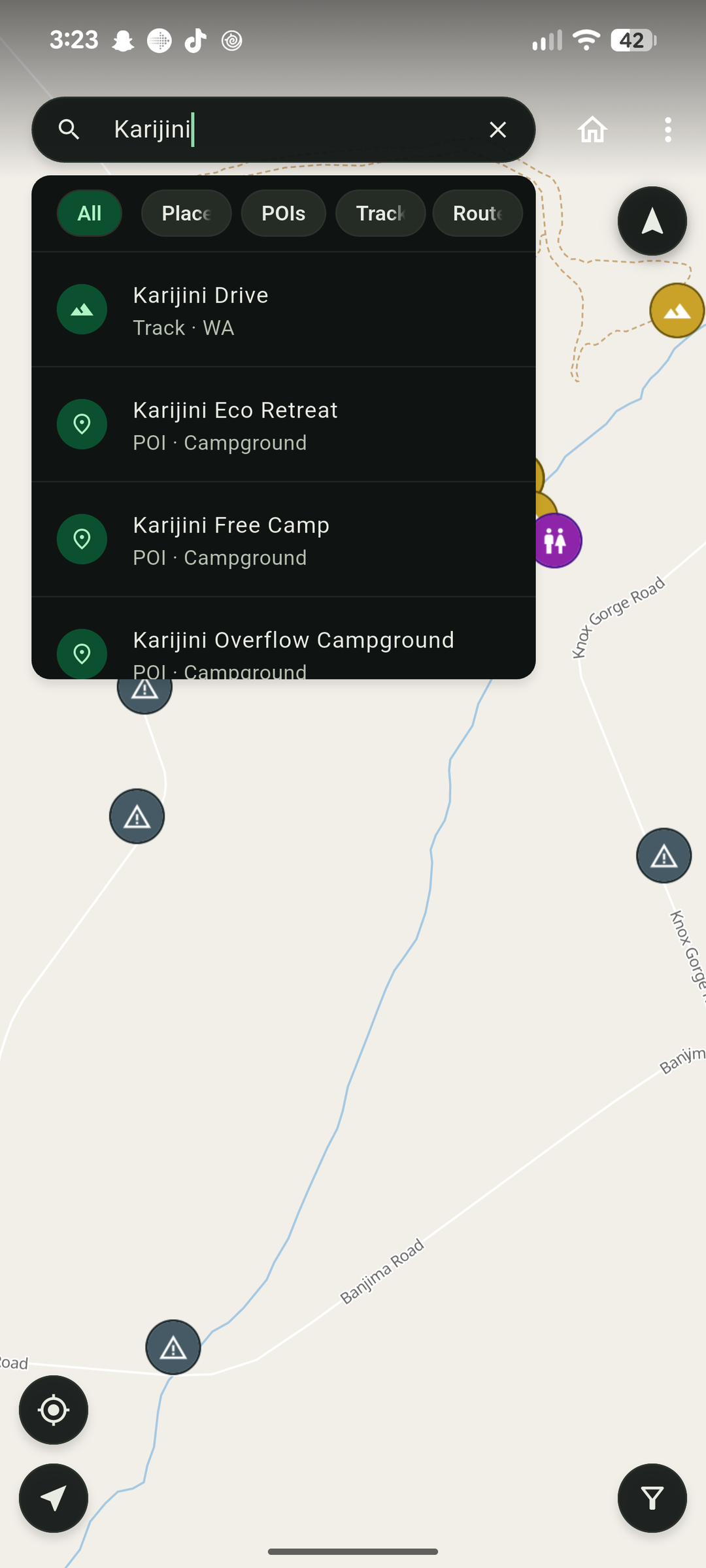
Type “Karijini” and the track, the campgrounds and the overflow camp come back in one list. Search covers 120,000+ places and 100,000+ named tracks, and jumps straight to each on the map.
-
Read before you drive in
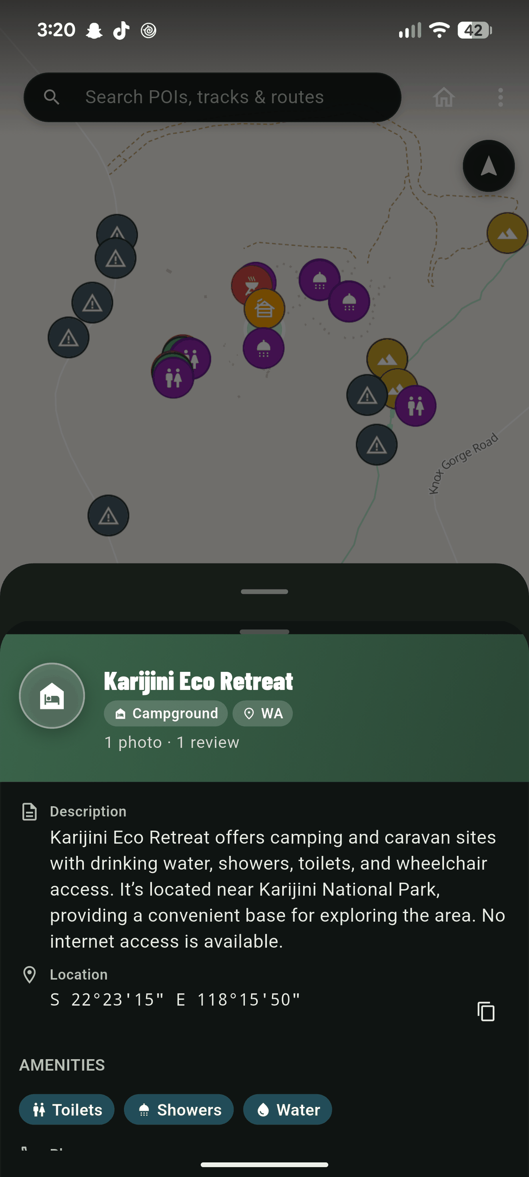
Karijini Eco Retreat: drinking water, showers, toilets, wheelchair access, and coordinates to the second. Every place has a written description, so you know whether the “camp” is a gravel patch or a proper stop.
-
Join the stops
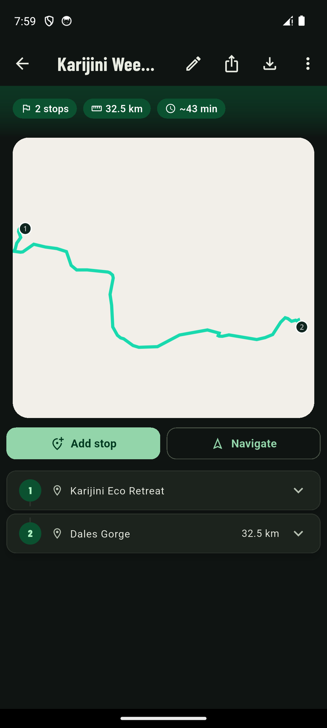
Eco Retreat to Dales Gorge: 32.5 km, about 43 minutes, drawn on the map. Save the trip and it stays on the phone, signal or not.
Or start from a classic
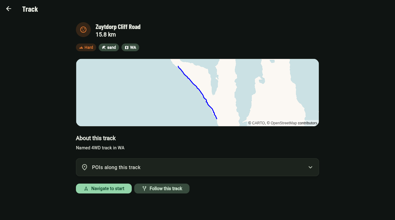
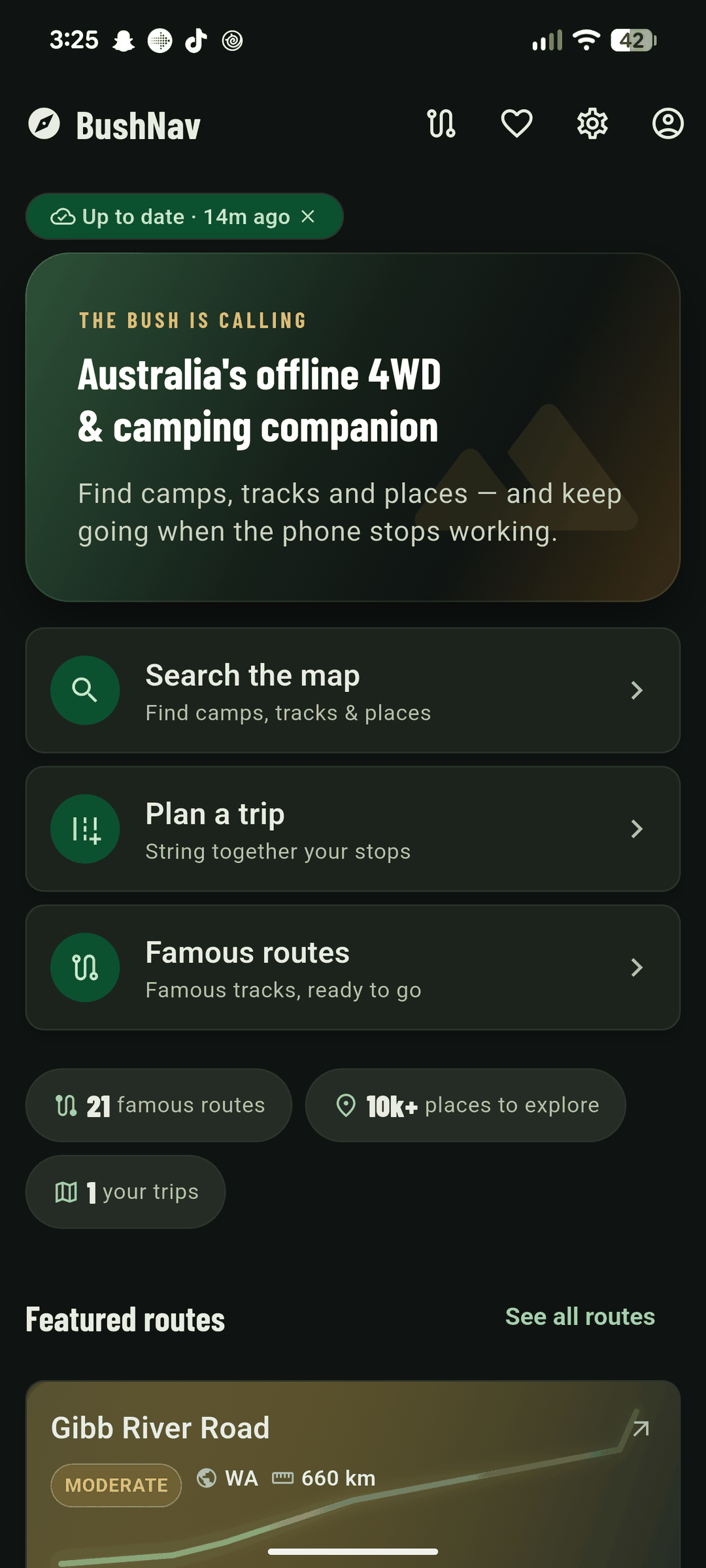
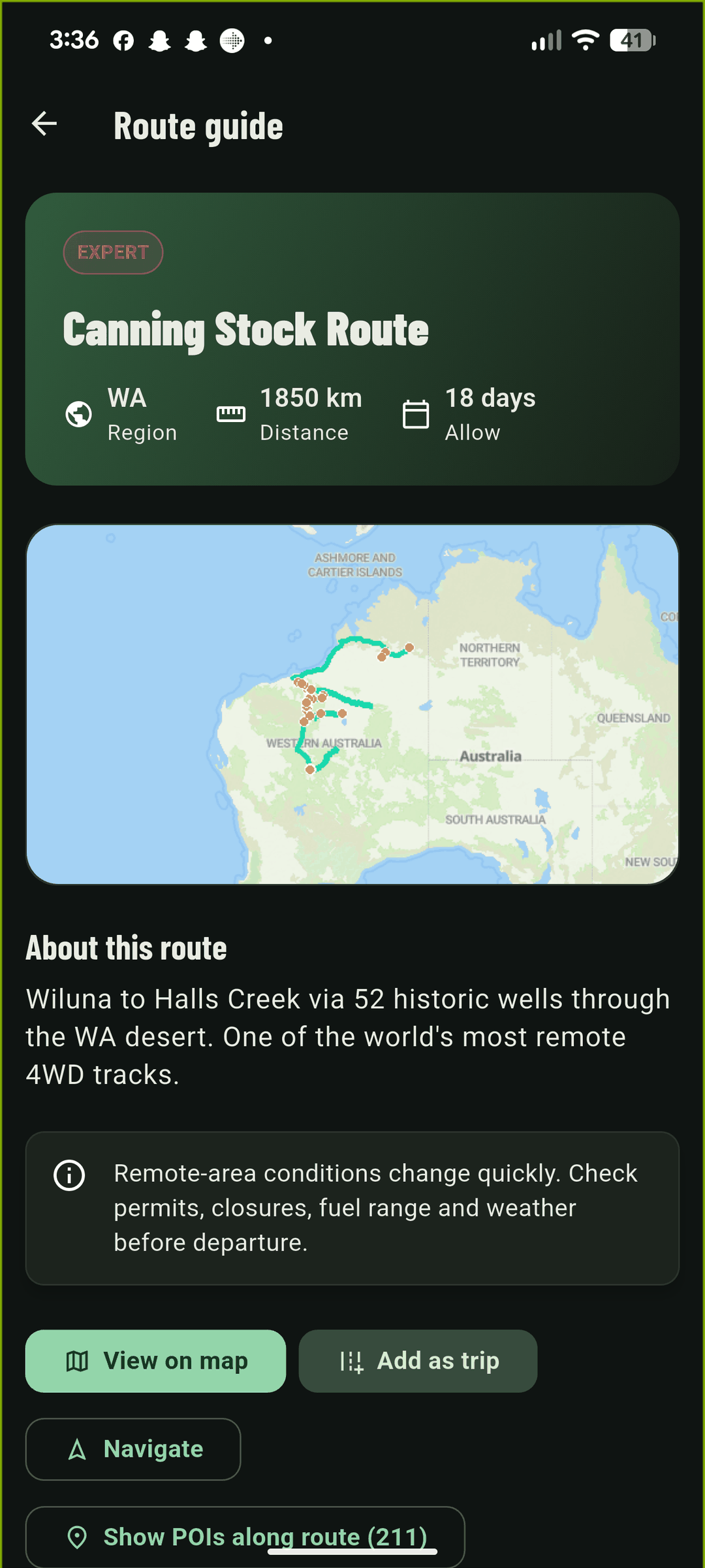
The big outback routes come loaded, from the Oodnadatta Track to the Canning Stock Route. Each one lists its length, difficulty and how many days to allow. Load one and go.
- Canning Stock Route
- Wiluna to Halls Creek
- Length
- 1850 km
- Difficulty
- Expert
- Allow
- 18 days
Plan it at home on the big screen
The same map and the same tracks run in a browser, for the planning you do at the kitchen table.